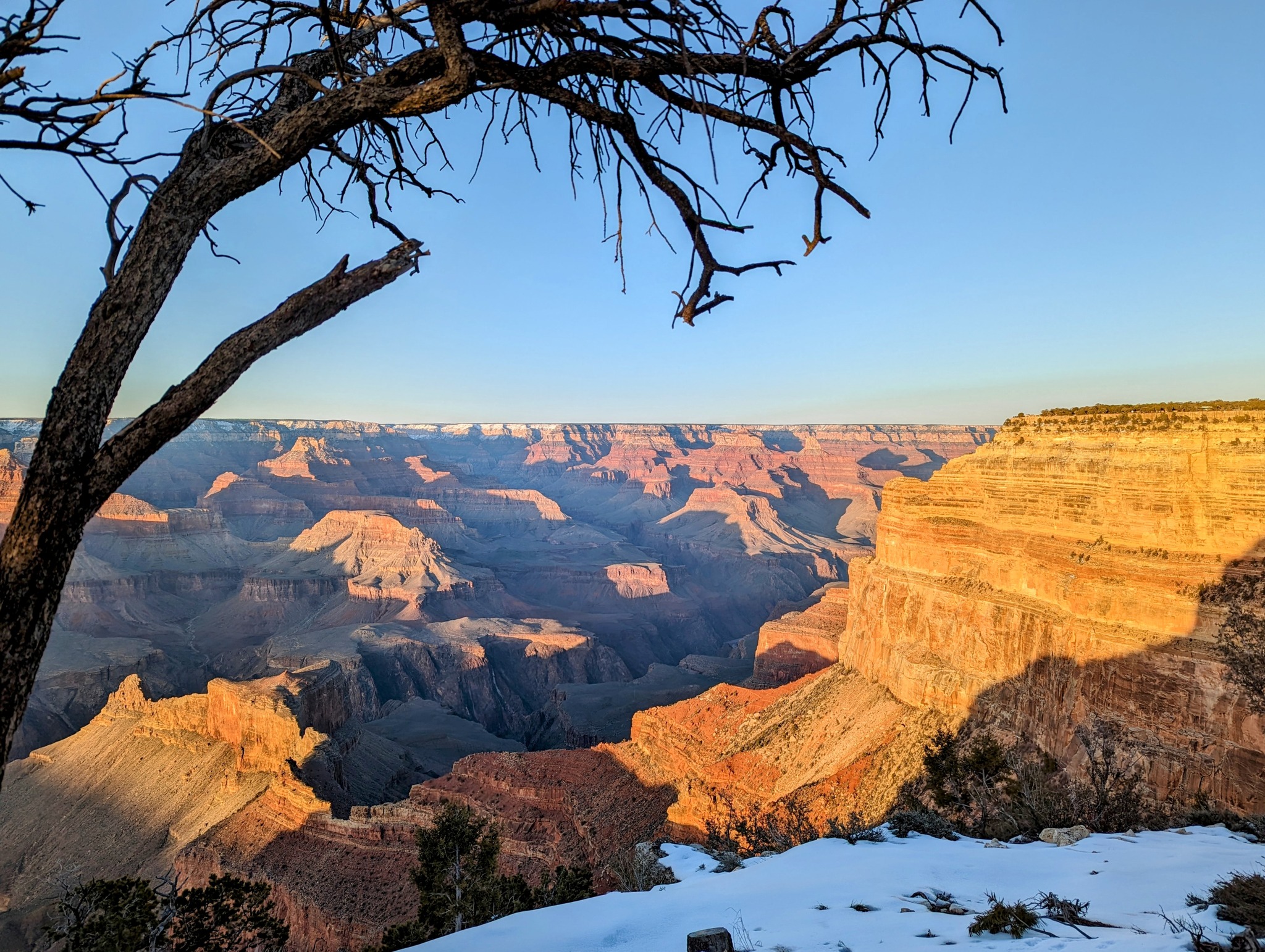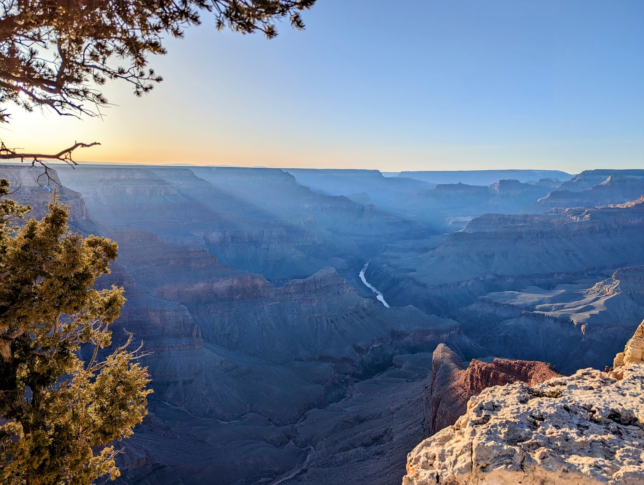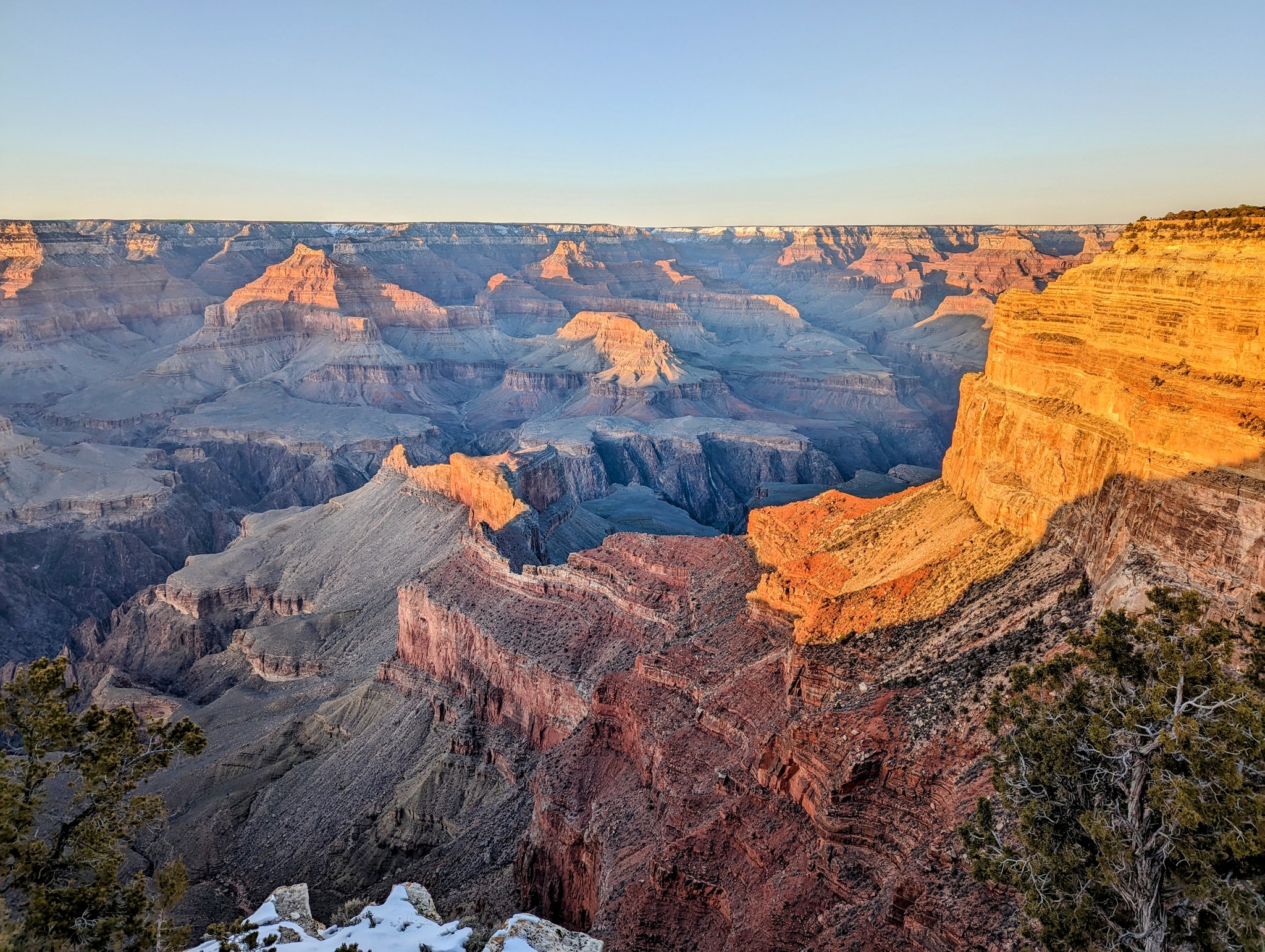
Grand Canyon - Longer than Sri Lanka
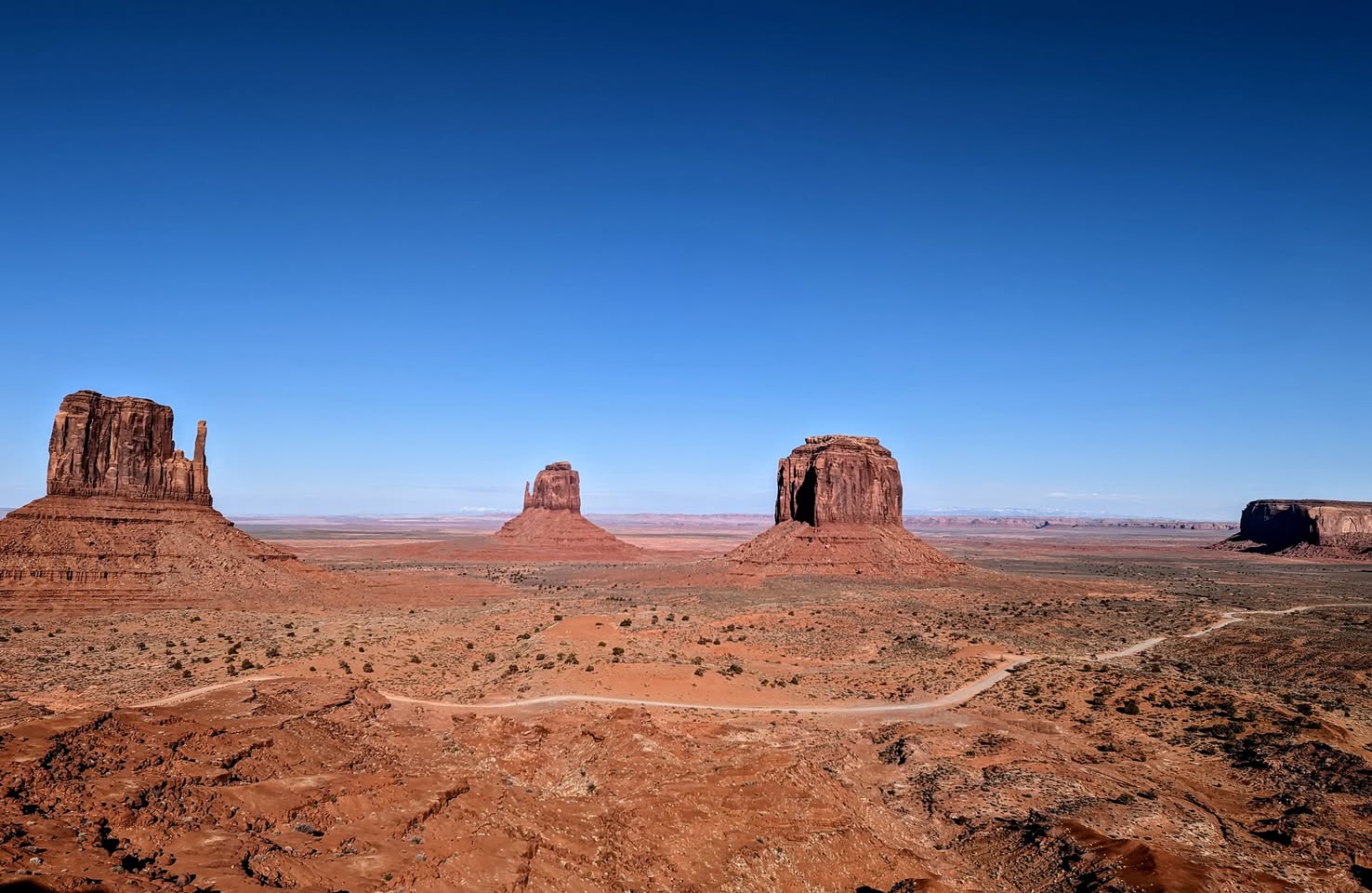
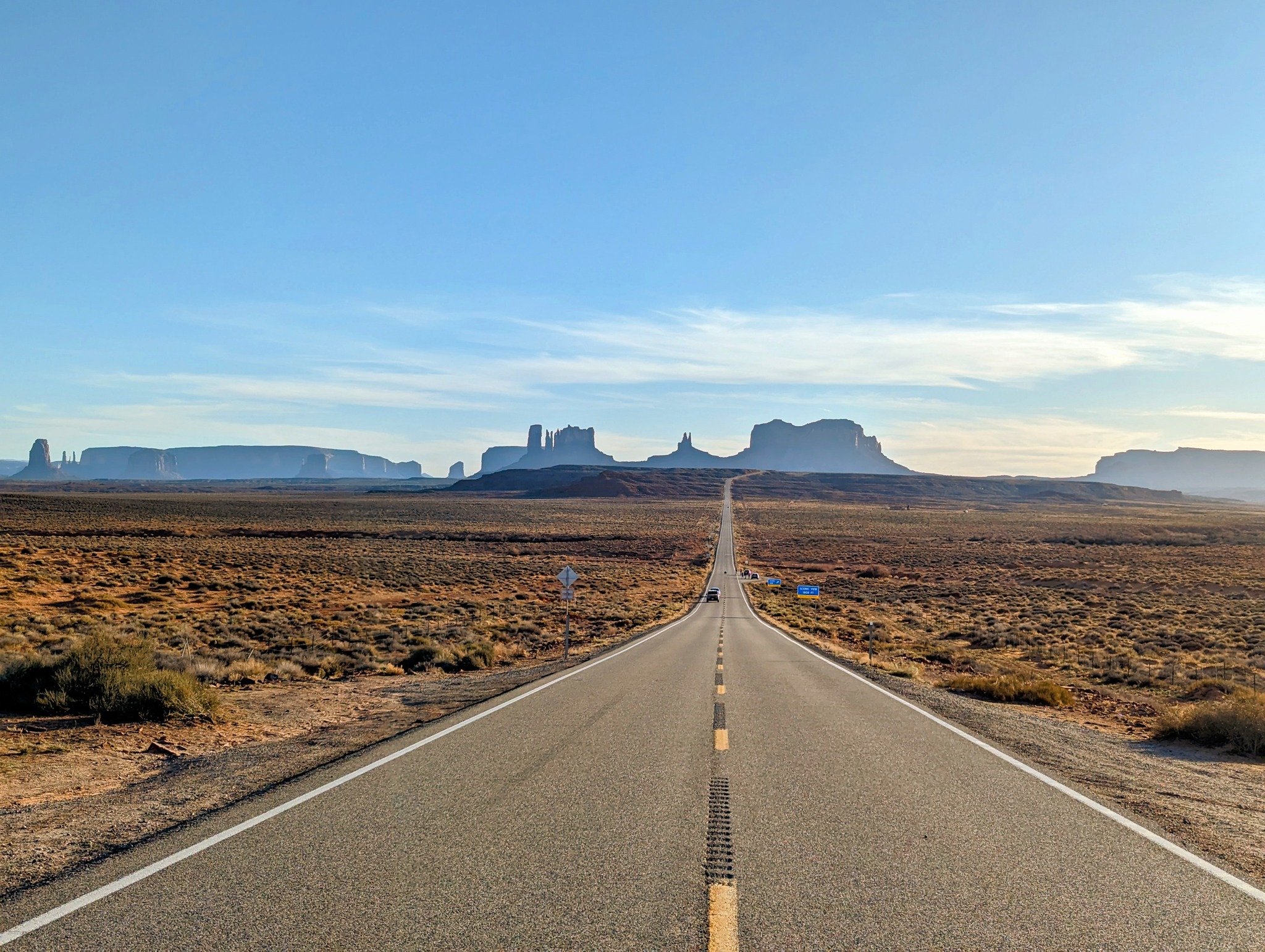
Monument Valley - Where Forrest Gump stops running
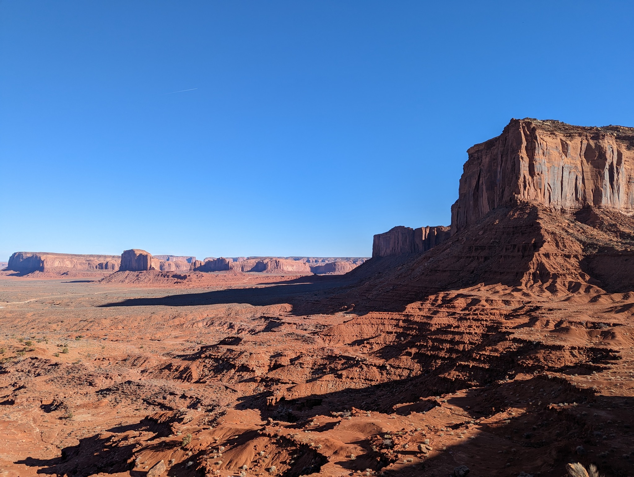
A vast, red, otherworldly expanse. Scattered “monuments” whose size defies imagination, towering over us. It feels like a video game. As if some ancient civilization built these gigantic temples and went extinct. And we are moving through their ruins. Each as tall as a 100-story skyscraper, and as wide as a village, carved by wind alone for millions of years. Photos don’t do justice, they have to be seen in person to feel their scale. Forrest Gump stops running in a spot with a backdrop of monument valley. They have named the spot after him, and there are like 50 people taking photos from there.
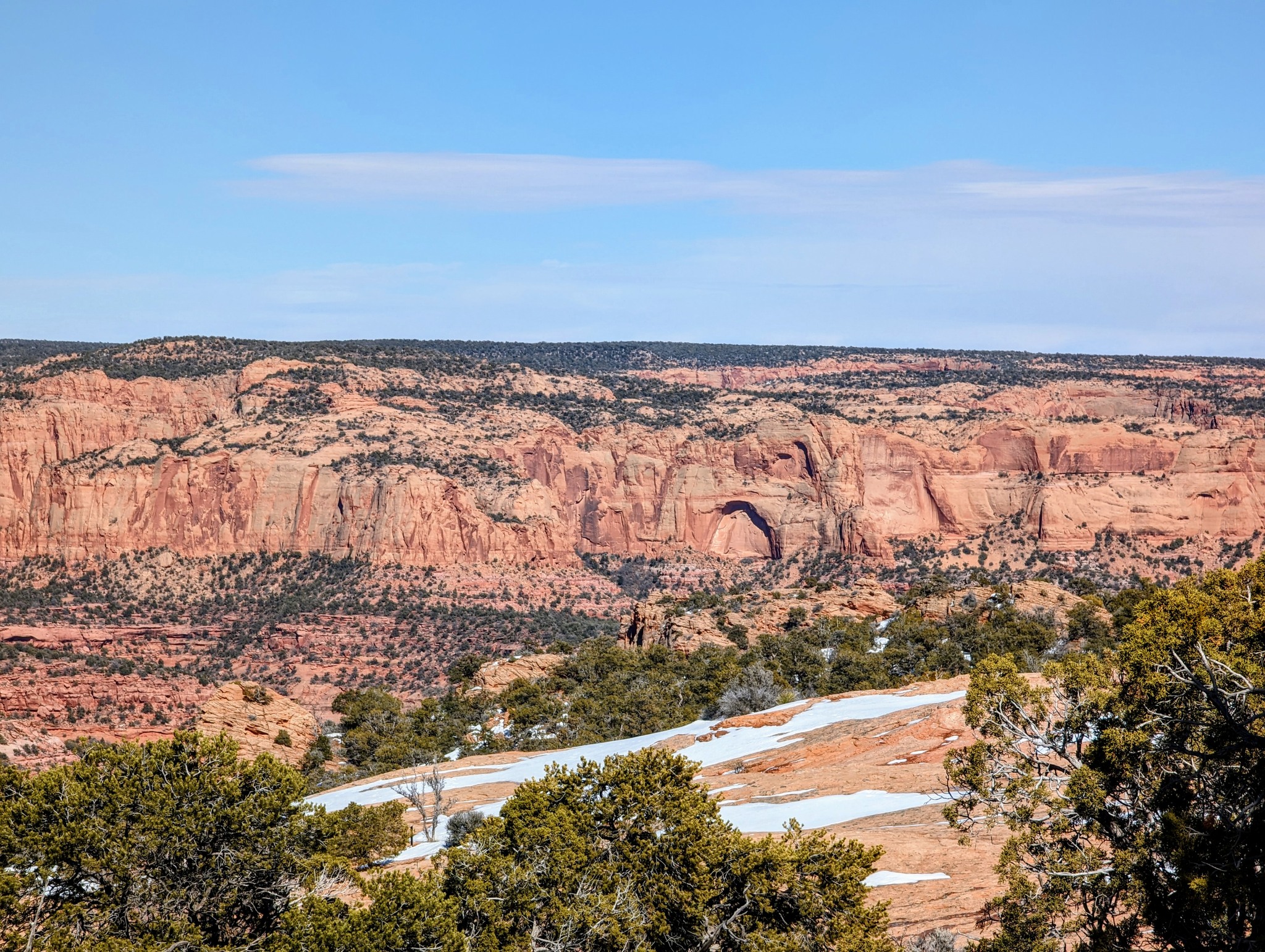
Grand Canyon is longer than Sri Lanka (446 km), carved by the Colorado River and wind. Both monument valley and the Grand Canyon are part of the Colorado Plateau. The pacific plate keeps pushing under the North American plate, forming the Rocky Mountains and raising the land to form the Colorado Plateau.
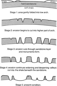
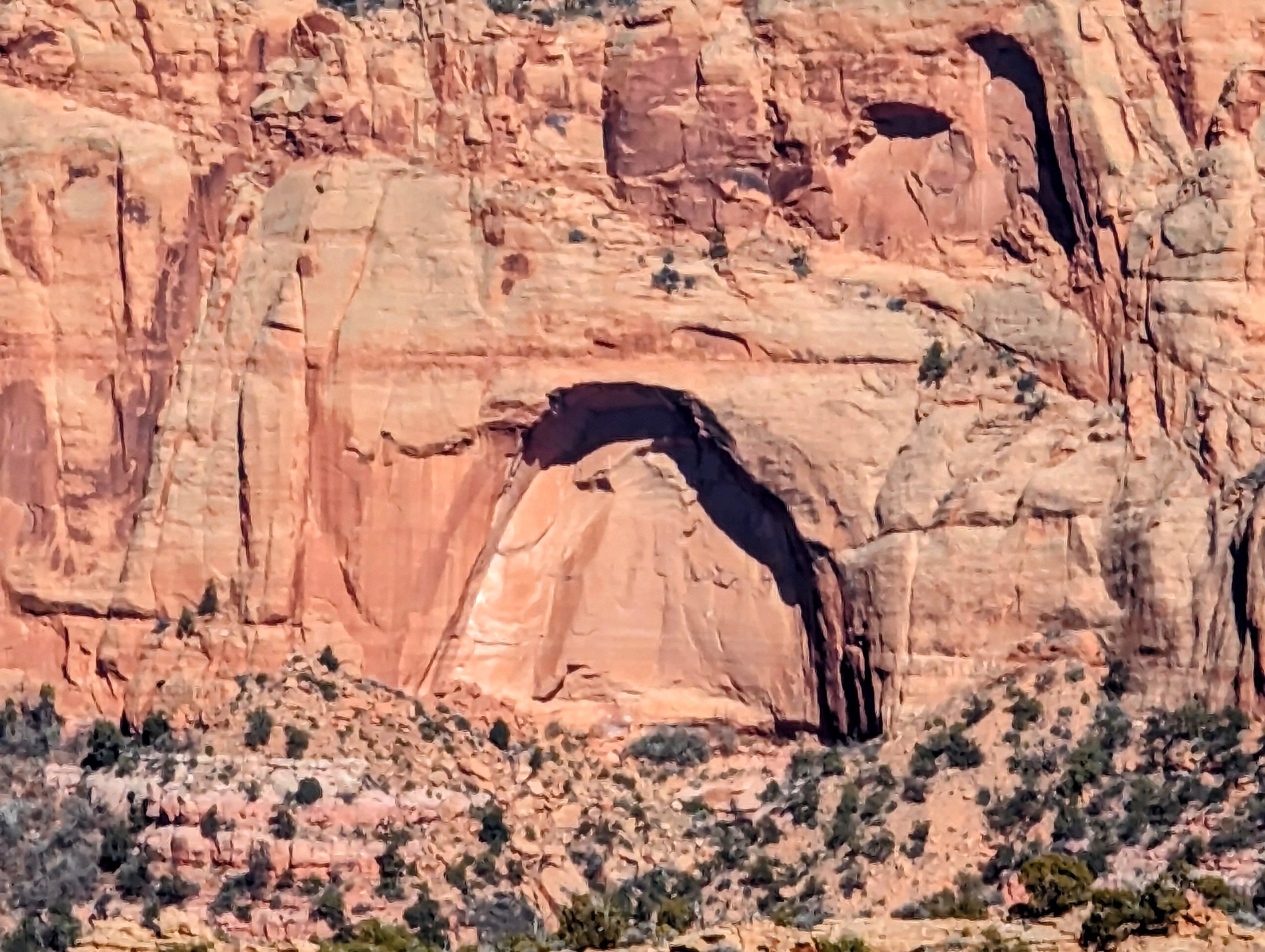
When dinosaurs roamed the earth, during the Jurassic age (192 million years ago), the top of the monuments & Grand Canyon was the sea floor. Their rock is sandstone, formed by layers and layers of sedimentation. The plateau rose out of the sea level, and the raising caused large cracks. Wind keeps eroding these cracks to the present ground level, forming the monuments [see picture]. The Colorado River cut through the cracks to form the Grand Canyon, while wind keeps eroding it further. We can still see the erosion happening: a cone of loose rocks form the base of each monument and edges of Grand Canyon.
Grand Canyon’s summits are named after mythical deities. There are Vishnu, Shiva and Bramma “Temple”s. The crystalline rock layer at the bottom of the canyon is hence named “Vishnu Basement Rocks”.